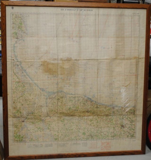


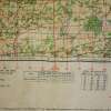
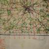
Original D-Day LST-56 US Naval Operational Map June 6, 1944 #132
REFERENCE ONLY. (SOLD or NOT FOR SALE)
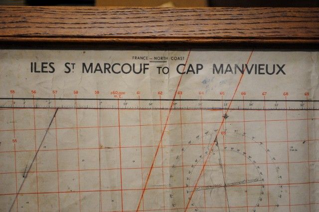
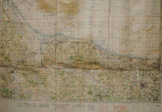
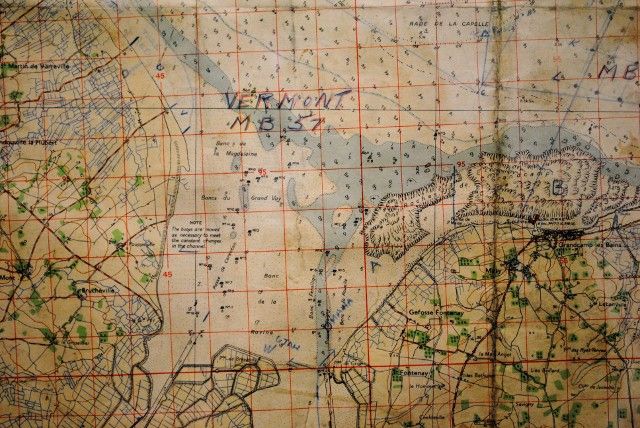
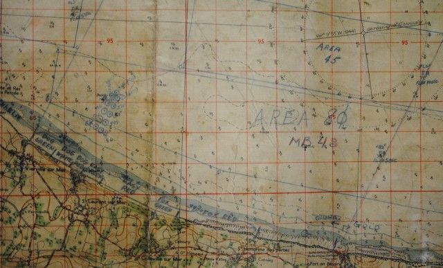
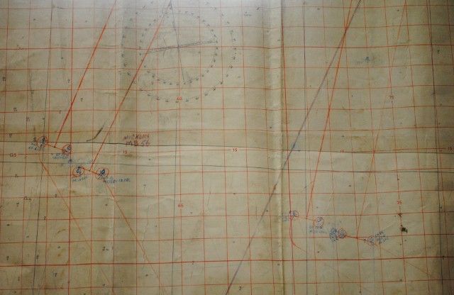
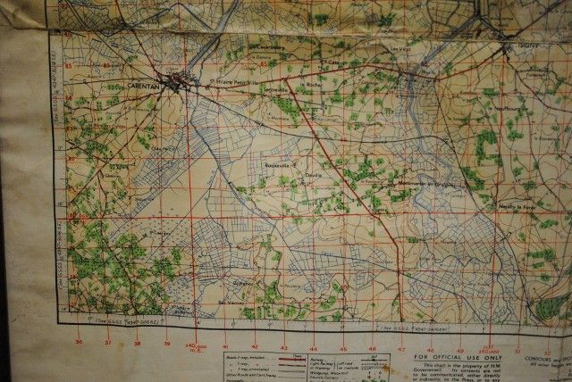
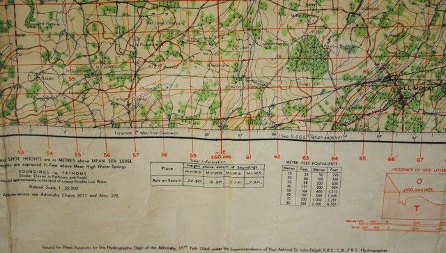
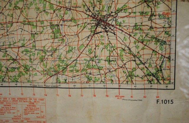
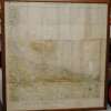
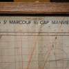
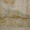
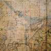
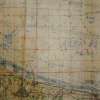
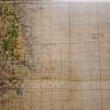
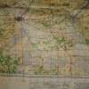
Original D-Day Invasion USS LST-56 US Naval Operational Map June 6, 1944…Chart shows most of the US landing beaches with landing craft and ship lanes with intervals and positions…Landing beaches include all US areas: Omaha, Utah, Dog Green, Easy Green, etc….This is the original chart used on D-day and kept by a crew member on the LST.
(Original D-Day USS LST-56 US Naval Operational Map Normandy Beach Chart June 6, 1944)